The Alberta floods of June, 2013, have been described as the worst in Canadian history. Four people died and more than 100,000 were forced from their homes. Total damage exceeded $5-billion by some estimates.
Globe photojournalist John Lehmann revisits some of the province's hardest-hit areas, a year later.
Siksika First Nation reserve
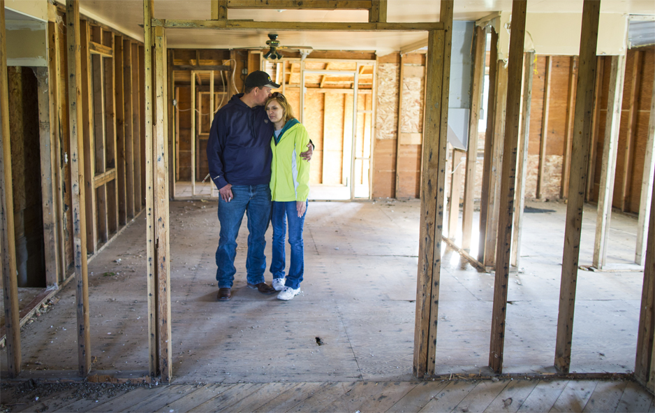
Marty Woods takes a tour of his mud and flood-soaked home at the Siksika First Nation reserve June 25, 2013. The native reserve was one area badly hit by flooding when the Bow River overflowed its banks June 22. More than 200 homes suffered flood damage and 600 homes had to manage through a lengthy power outage and lack of safe drinkable water. More recently, Mr. Woods and his wife Kim visited their condemned home on June 6, 2014.

Hidden Valley Golf Resort
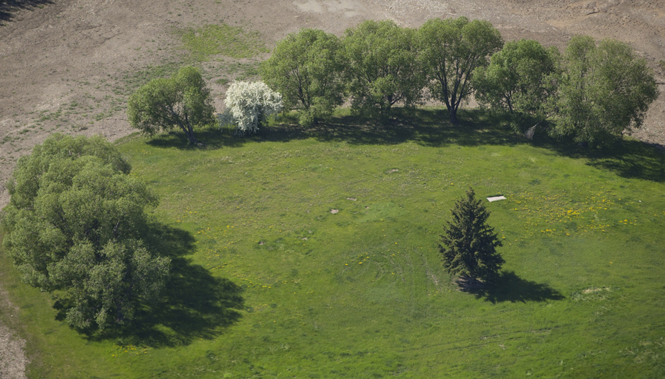
Golf carts and equipment are left in the middle of the Hidden Valley Golf Resort on the Siksika First Nation reserve east of Calgary June 23, 2013. The golf course and surrounding community suffered near complete destruction during the flooding as whole homes were carried away by the river. The course remains closed a year later with no plans to reopen.

High River
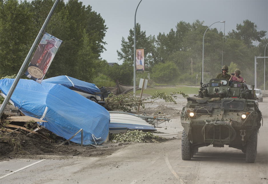
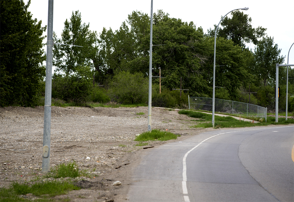
Boats and debris carried on flood waters litters the roadway and front lawn of a house in High River June 25, 2013. A year later, the home sits condemned, waiting to be demolished.


Along the Bow River
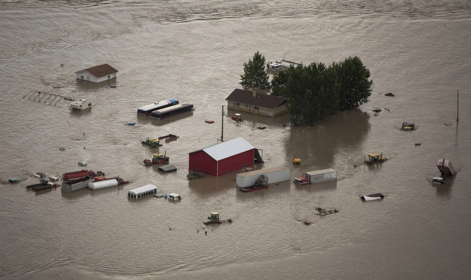
Water from the Bow River rises half way up a farm house near the Siksika First Nation reserve east of Calgary, June 23, 2013, practically engulfing several vehicles on the lot. A year later, barns have been replaced but the cleanup continues.

High River
Boats litter a road in High River as a Canadian Forces light armoured vehicle escorts media through the city June 25, 2013 highlighting the most flood-affected areas.
Elbow Park, Calgary
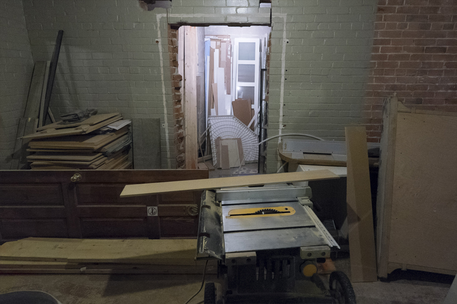
Residents in the neighbourhood of Elbow Park in southwest Calgary look over their flooded basement June 22, 2013. A year later, repairs are progressing slowly.

Mission, Calgary
The Mission neighbourhood in southwest Calgary, not far from the Stampede grounds, lies along the Elbow River. Resident Dauna Geddes stands in her flooded basement office June 21, 2013. The year-long process of restoring the property is slowly showing results.

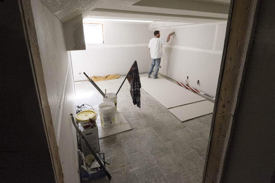
Mission, Calgary
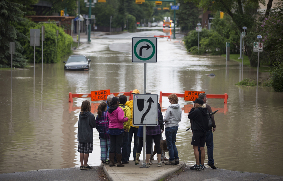
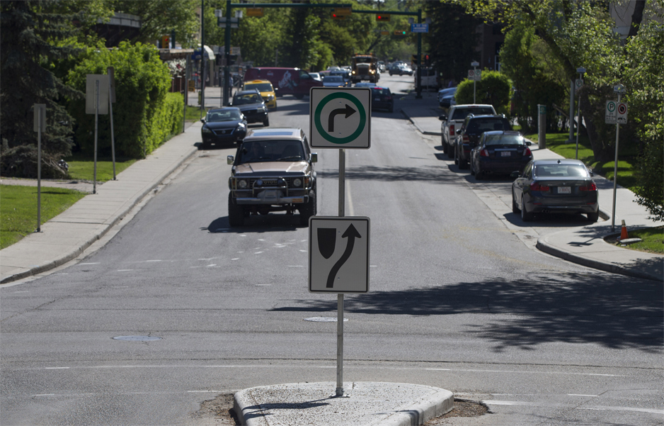
A flooded street in Calgary's Mission neighbourhood, one of the hardest-hit areas of the city, June 21, 2013. The year-after image was taken June 6, 2014.
Siksika First Nation reserve
As flood waters ravaged the Siksika First Nation reserve, organizers used this sports complex, photographed June 25, 2013, as an emergency shelter and donation drop off point. The native reserve was badly hit when the Bow River flowed over its banks. A year later, the arena sits empty.


Siksika First Nation reserve
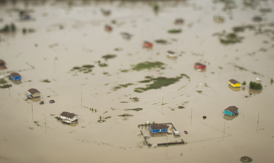
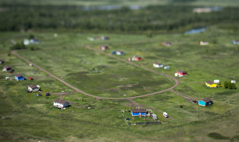
Several houses on the Siksika First Nation reserve east of Calgary are half covered by flood waters from the Bow River. Photos from June 23, 2013 and June 6, 2014 show how much land was covered and where the high water mark still can be seen at the foot of the hill.
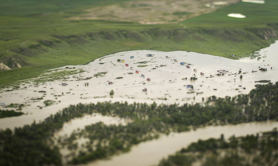

Siksika First Nation reserve
From the other angle, closer to the homes, the high water has spared nothing on the Siksika First Nation reserve east of Calgary. The before picture is from June 23, 2013 and after picture from June 6, 2014.
