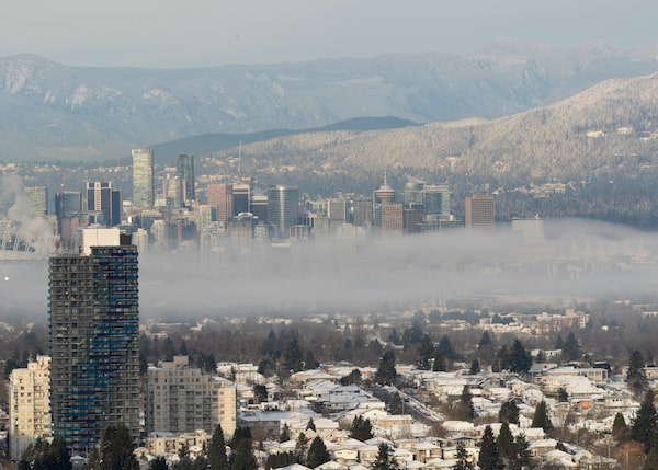
A temperature inversion is seen against downtown Vancouver skyline on Dec. 28, 2021 in Burnaby, B.C.Andrew Chin/Getty Images
Weather warnings and special weather statements covered much of southern British Columbia on Monday as Environment Canada warned of torrential rain at lower elevations and heavy snow on inland mountain passes.
Up to 100 millimetres of rain was forecast for western Vancouver Island through Monday along with a threat of localized flooding and washouts.
As much as 70 millimetres was expected during the same period over eastern Vancouver Island and the inner south coast, although the River Forecast Centre said models showed the heaviest rain would fall south of the border in Washington state.
High streamflow advisories were issued for much of Metro Vancouver and the Fraser Valley and the centre warned U.S. officials were indicating significant flooding was likely on the American side of the Nooksack River, the same waterway linked to severe floods around Abbotsford in November.
The River Forecast Centre says its U.S. counterpart expected rivers to peak Tuesday and did not expect levels to reach heights that could flow into Canada and overwhelm the Sumas River drainage.
The storm was also expected to dump up to 50 centimetres of snow on the Kootenay Pass while the weather office said that could change to rain at lower elevations of highways, including the Coquihalla between Hope and Merritt.
“Consider postponing non-essential travel until conditions improve,” Environment Canada said about travel along sections of Highway 3 in southeastern B.C.
Our Morning Update and Evening Update newsletters are written by Globe editors, giving you a concise summary of the day’s most important headlines. Sign up today.